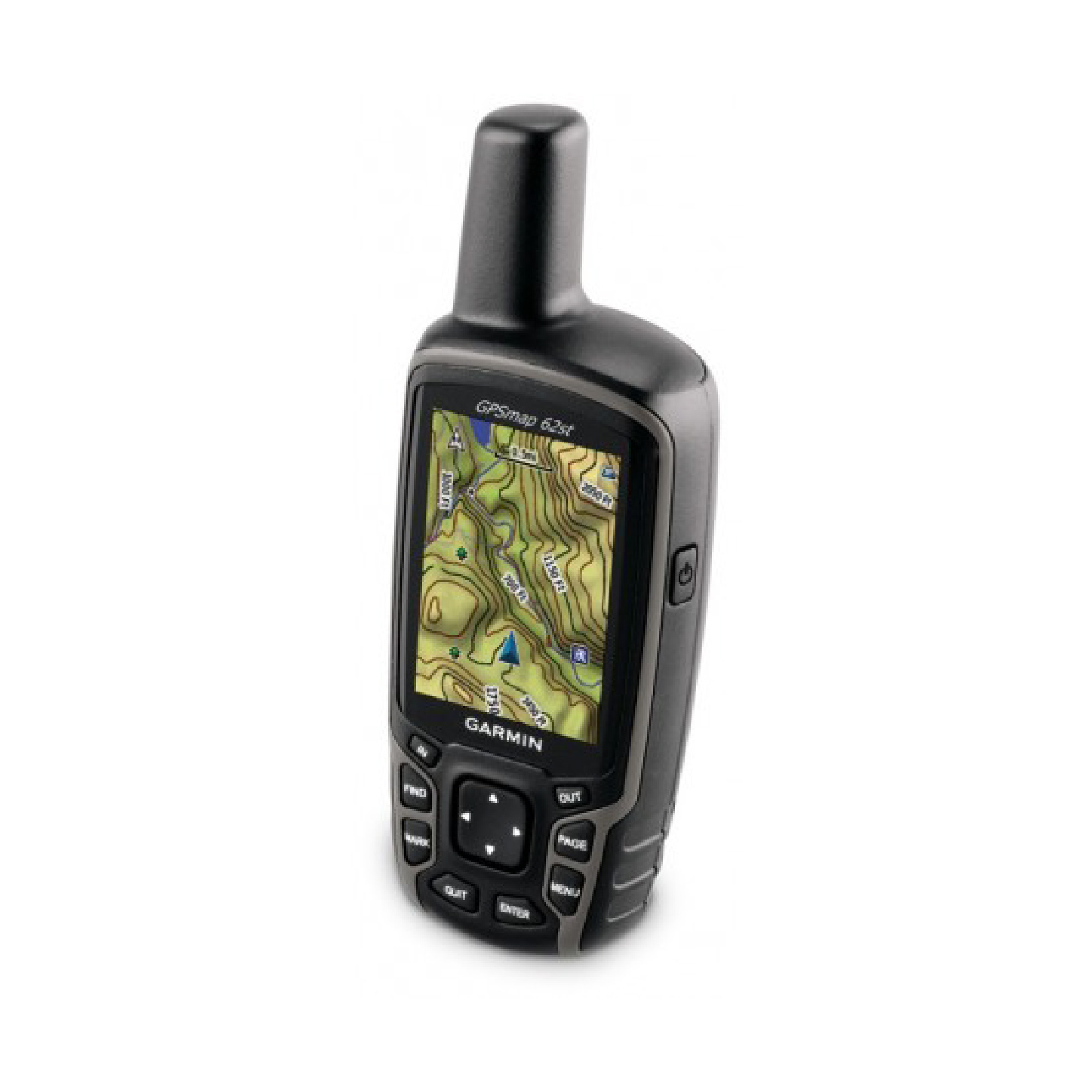
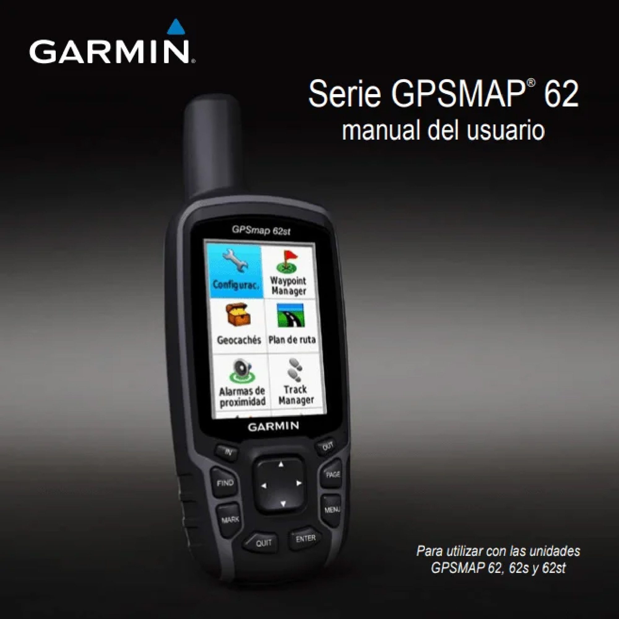
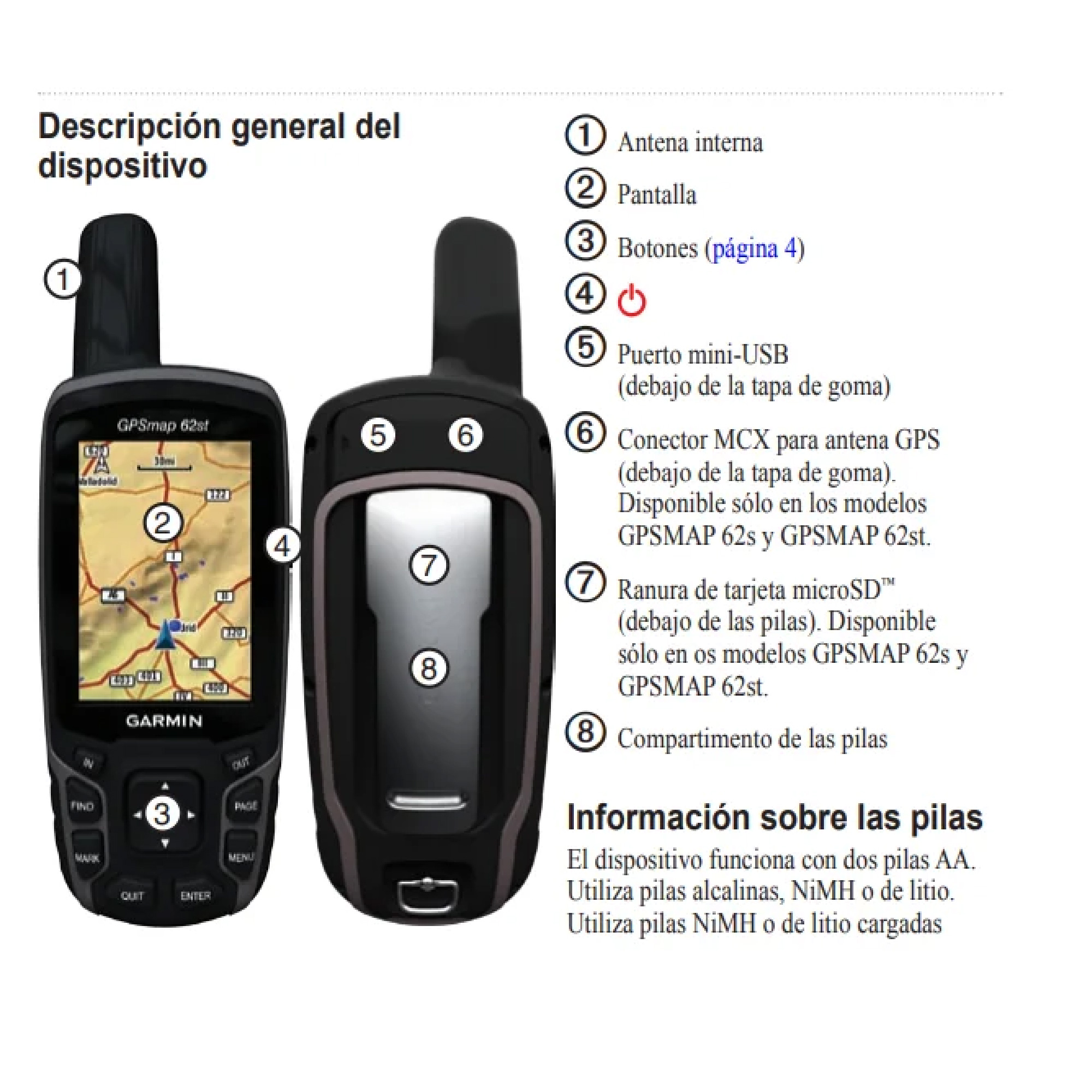
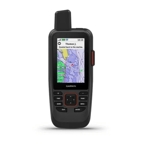
The newly designed GPSMAP 62s handheld navigator features a tilt-compensated three-axis compass, a barometric altimeter, 100K Topographic Maps preloaded with custom maps, BirdsEye™ Satellite Imagery (subscription required) and photo navigation. The compact, waterproof GPSMAP 62st features a quad-helix antenna for unparalleled reception, high-speed USB connectivity, a sleek, new design and wireless connectivity to compatible Garmin handheld devices.
Explore the terrain
GPSMAP 62s comes with 100K of built-in topographic data maps for the continental United States and a worldwide shaded relief basemap, providing all the tools needed for those serious about climbing or mountaineering. Map detail includes national, state and local forests and wilderness parks, as well as elevation and contour information, trails, rivers, lakes and points of interest.
Don't lose your way
The GPSMAP 62st features a tilt-compensated three-axis electronic compass that displays your heading even when you're standing still and holding it at an angle. Its barometric altimeter tracks changes in pressure to determine your precise altitude, and you can even use it to graph barometric pressure over time, which can help you monitor changing weather conditions.
Share wirelessly
With GPSMAP 62s you can wirelessly share your waypoints, tracks, routes and geocaches with other compatible Garmin device users. Now your friends can enjoy your favorite hikes or geocaching activities too – just tap Send to transfer the information.

Reviews
There are no reviews yet.